How to Get to Dynjandi Waterfall: Driving, Routes, and Parking
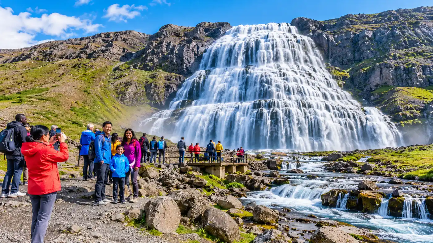
You can hear the roar of the water long before you actually turn the corner of the fjord. Dynjandi drops like an enormous bridal veil down tiers of dark basalt, spilling into the remote reaches of Arnarfjörður in Iceland's northwest corner. If you are trying to figure out how to get to dynjandi waterfall, you need to understand that this is not an easy detour off the Golden Circle or the Ring Road. Reaching it requires a journey through one of the emptiest, most spectacular regions in northern Europe, where mountains plunge straight into the ocean and the roads feel carved out of sheer will.
Getting here takes patience, a tank full of fuel, and some smart route planning. Depending on which direction you come from, you might encounter brand new mountain tunnels or long stretches of rough, bone-jarring washboard gravel. This guide walks you through every realistic route, whether you are striking out from the capital, heading south from Ísafjörður, taking the car ferry across the bay, or trying to manage the drive in shoulder season without high ground clearance.
Book your dynjandi waterfall experience:
Where is Dynjandi Waterfall and What Part of Iceland Is It In?
The dynjandi waterfall location sits tucked deep in the southern crook of Arnarfjörður, right in the heart of the Westfjords. Travelers often ask what part of iceland is dynjandi waterfall located in, usually assuming it is somewhere along the northern tourist circuits. It belongs squarely to the Westfjords peninsula, that giant claw of ancient volcanic rock jutting out into the Atlantic toward Greenland. It feels isolated because it truly is.
There is no traditional dynjandi waterfall address that a postal worker would recognize. If you plug the name into Google Maps or your rental car dashboard, it generally finds the location without fuss, but the dynjandi waterfall coordinates are 65.7328° N, 23.1998° W. Looking at a dynjandi waterfall map, you will spot it along Route 60, roughly halfway between the southern edge of the peninsula and the northern fishing ports.
The landscape around the falls is jagged and wild. Arnarfjörður is vast and windswept, fringed by steep table mountains carved by ice age glaciers. There are very few buildings along this stretch of shoreline, aside from an old turf farmstead ruin and the seasonal ranger facilities. Cell phone reception drops out intermittently as you wind between the valleys, so downloading offline maps before leaving town is an absolute necessity.
Driving Distance from Reykjavik to Dynjandi Waterfall: Routes and Drive Times
The driving distance from reykjavik to dynjandi waterfall is roughly 365 kilometers if you stick entirely to the roads, which translates to at least five or six hours behind the wheel without a single break. Realistically, nobody drives it in six hours. You will stop for sheep wandering into the gravel, you will pull over to look at steaming geothermal vents, and you might get stuck behind a heavy truck crawling up a steep gradient.
Leaving the capital, you head north along Route 1, through the underwater tunnel beneath Hvalfjörður, and past the quiet dairy plains around Borgarnes. Once you reach the junction near Dalsmynni, you branch onto Route 60. From that intersection onward, the character of the journey shifts. The road narrows, the traffic thins to a trickle, and you begin the long, slow climb into the western fjords.
You essentially have two choices when planning the trek from dynjandi waterfall to reykjavik or vice versa:
- The Pure Overland Route: Follow Route 1 north to Route 60, winding around the bottom of the fjords through Búðardalur and over the mountain passes straight to the parking lot. It costs nothing in ferry fares, gives you total schedule flexibility, and keeps you moving all day.
- The Baldur Ferry Shortcut: Drive from Reykjavík up the Snæfellsnes Peninsula to the historic harbor town of Stykkishólmur, then catch the car ferry across Breiðafjörður to Brjánslækur. The ferry shaves about 130 kilometers of pure driving off your day, allowing you to rest while sliding past sea cliffs and uninhabited islets.
Note: The Baldur ferry runs once or twice daily depending on the season, and summer vehicle space sells out weeks ahead. If you miss your booking, driving around the coastline adds nearly four hours of detour.
If you take the ferry to Brjánslækur, the drive to dynjandi waterfall takes another 45 minutes to an hour heading north on Route 60. You will cross a barren plateau known as Dynjandisheiði, a moody highland pass that holds snow well into summer and feels like driving across the surface of the moon.
How to Get to Dynjandi Waterfall from Isafjordur
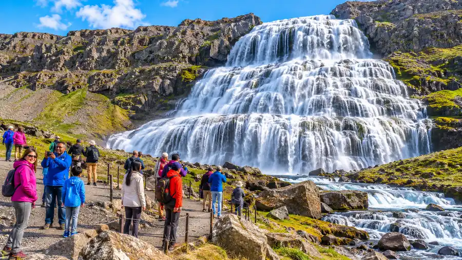
The journey from the regional capital in the north is much shorter, but it used to be a terrifying white-knuckle crawl over Hrafnseyrarheiði, an unpaved mountain pass plagued by mud, sheer cliffs, and blinding ocean fog. That changed completely in the autumn of 2020. The opening of Dýrafjarðargöng, a 5.6-kilometer tunnel bored straight through the mountain rock, transformed the drive between the northern and southern Westfjords.
How far is dynjandi waterfall from isafjordur today? The distance from isafjordur iceland to dynjandi waterfalls is roughly 85 kilometers. In clean weather, the drive takes around an hour and fifteen minutes. You leave town on Route 61, slip through the older Vestfjarðagöng tunnel toward Flateyri, cut down Route 60 through the picturesque village of Þingeyri, and shoot through the new tunnel straight into the bottom of Arnarfjörður.
Once you exit the southern portal of Dýrafjarðargöng, only about 14 kilometers of driving remain. The road hugs the shoreline of the fjord, twisting below basalt buttresses until the white spray of the cascade appears against the dark cliffs across the water.
If you prefer not to pilot a car yourself, public transit options are sparse. There is no standard daily isafjordur to dynjandi waterfall bus running on a commuter schedule like you might find down south around Reykjavík. During the high summer season, local operators run dedicated shuttle runs and day trips timed around tourist demand. If you want somebody else to do the navigating along the fjord edges, booking a guided tour from Ísafjörður is the simplest way to get there and back without renting your own wheels.
Pro tip: Gas stations are non-existent between Þingeyri and the falls. Fill your tank completely before leaving Ísafjörður, because burning fuel against the Westfjords headwind happens faster than you expect.
Book your dynjandi waterfall experience:
Road Conditions, 4WD Requirements, and Navigating in May
A massive question many travelers ask is whether they can visit dynjandi waterfall in iceland in may without 4wd. The honest answer is: it depends entirely on the week, but you are gambling if you choose a tiny economy car. May is the height of the spring thaw in the Westfjords. While the low coastal roads might be dry pavement, the highland stretches can turn into soft, churning slush overnight.
Until recently, Route 60 was famous for bone-rattling potholes and sharp volcanic gravel that destroyed rental car tires. Road crews have been steadily paving large sections of the corridor, particularly around the tunnel approaches. Still, the unpaved sections remain rugged. The gravel gets loose on the edges, washboard ridges vibrate your steering wheel, and flying stones from oncoming traffic are common.
| Route Origin | Average Distance | Drive Time (Summer) | Road Surface | Recommended Vehicle |
|---|---|---|---|---|
| Ísafjörður | 85 km | 1 hr 15 min | Mostly paved, short gravel | 2WD summer / 4WD shoulder season |
| Brjánslækur (Ferry) | 48 km | 50 min | Paved and rough highland gravel | AWD or 4WD preferred |
| Reykjavík (Via Route 60) | 365 km | 5 hr 30 min | Mixed asphalt and loose gravel | AWD or 4WD year-round |
| Patreksfjörður | 82 km | 1 hr 25 min | Gravel mountain pass, coastal asphalt | AWD or 4WD |
During July and August, a standard front-wheel-drive sedan can easily handle the drive if you go slow and respect the gravel. But in May or late October, mountain passes like Dynjandisheiði can be temporarily closed by the road administration due to drifting snow or deep mud. Check the road conditions on road.is every single morning before putting the key in the ignition. If the pass is marked orange or red, turn back and wait it out.
Dynjandi Waterfall Parking, Facilities, and Camping Rules
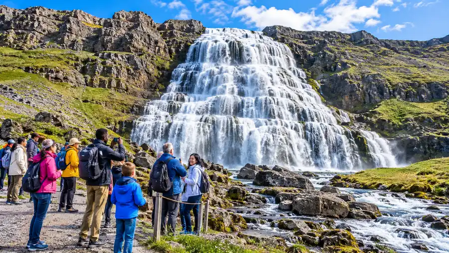
After navigating the winding bends of Arnarfjörður, you will see a wooden marker pointing toward the coast. The dynjandi waterfall parking area is situated directly at the base of the nature reserve, just a hundred meters from the sea. The lot is wide, flat, and surfaced with crushed gravel, offering plenty of room for passenger cars, campervans, and tour coaches.
For decades, parking here was free, but automated license plate recognition cameras now monitor the lot. You pay the parking fee digitally through the Parka app or the official payment terminal near the restrooms. The fee is around 1,000 ISK for passenger vehicles, which directly funds footpath maintenance, trail markers, and environmental protection around the fragile moss banks.
At the edge of the lot, you will find modern flush toilets and running water, which operate through the main tourist season from late May through September. Outside of these months, the plumbing is winterized to prevent freezing pipes, leaving basic dry facilities or no open restrooms at all.
From the car park, the Dynjandi waterfall hike begins immediately. You wander along a rocky, stepped dirt path that winds up past six smaller waterfalls before reaching the foot of the monstrous main drop. You can see the lower falls from the vehicle, but walking the trail takes roughly twenty minutes of steady uphill effort.
You cannot pitch a tent here anymore. Travelers often research dynjandi waterfall camping assuming they can sleep under the thunder of the water, because there used to be a rudimentary campsite on the flat grassy lawn beside the river. That option is gone. Dynjandi was declared a protected natural monument to halt severe soil erosion, and overnight stays of any kind - whether in tents, roof racks, or converted campervans - are strictly forbidden in the parking area and surrounding reserve.
If you want to camp nearby, you have several authentic options within a short drive:
- Flókalundur Campground: Located 45 minutes south at the junction of Routes 60 and 62, sitting right on the shore next to a natural geothermal pool called Hellulaug.
- Þingeyri Camping Ground: Situated 40 minutes north, featuring warm showers, an indoor cooking shelter, and easy access to the local bakery.
- Bíldudalur Campsite: Tucked into neighbouring Bíldudalur along Route 63, offering peaceful harbor views and shelter from ocean gales.
Frequently Asked Questions about how to get to dynjandi waterfall
Is Route 60 open in the winter?
Route 60 over the mountain passes is frequently closed in winter due to heavy snow and fierce blizzards. Snowplows only service Dynjandisheiði a few days per week during deep winter, making self-driving to the falls unreliable between November and April.
Can you see Dynjandi from the parking lot?
Yes, you can see the top of the massive cascade and several lower tiers right from the parking area. Reaching the base of the main waterfall requires an uphill walk of about 15 to 20 minutes along a rocky path.
How far is dynjandi waterfalls from reykjavik in driving hours?
The drive takes at least five and a half to six hours under clear summer conditions without long stops. Most travelers break the trip into two days by staying overnight along the way in Búðardalur or on the Snæfellsnes Peninsula.
Do I need cash to pay for parking at Dynjandi?
No cash is accepted. Parking is managed digitally through the Parka app or on their website using a credit or debit card after cameras log your license plate upon entry.
Quick Reference
- GPS: 65.7328° N, 23.1998° W
- 85 km from Ísafjörður (about 75 minutes)
- 365 km from Reykjavík (5.5 to 6 hours)
- Camping strictly prohibited on site
- 1,000 ISK parking fee via Parka app
Book your dynjandi waterfall experience:
Before You Go
Reaching this far corner of Iceland takes real effort, but watching hundreds of thousands of gallons of glacial water spill down a 100-meter staircase of ancient lava makes every single gravel bump forgotten. Top off your fuel tank whenever you pass a pump, keep an eye on the highland weather forecasts, and give yourself far more driving time than the GPS tells you. The Westfjords reward travelers who refuse to hurry.
Read more about dynjandi waterfall.